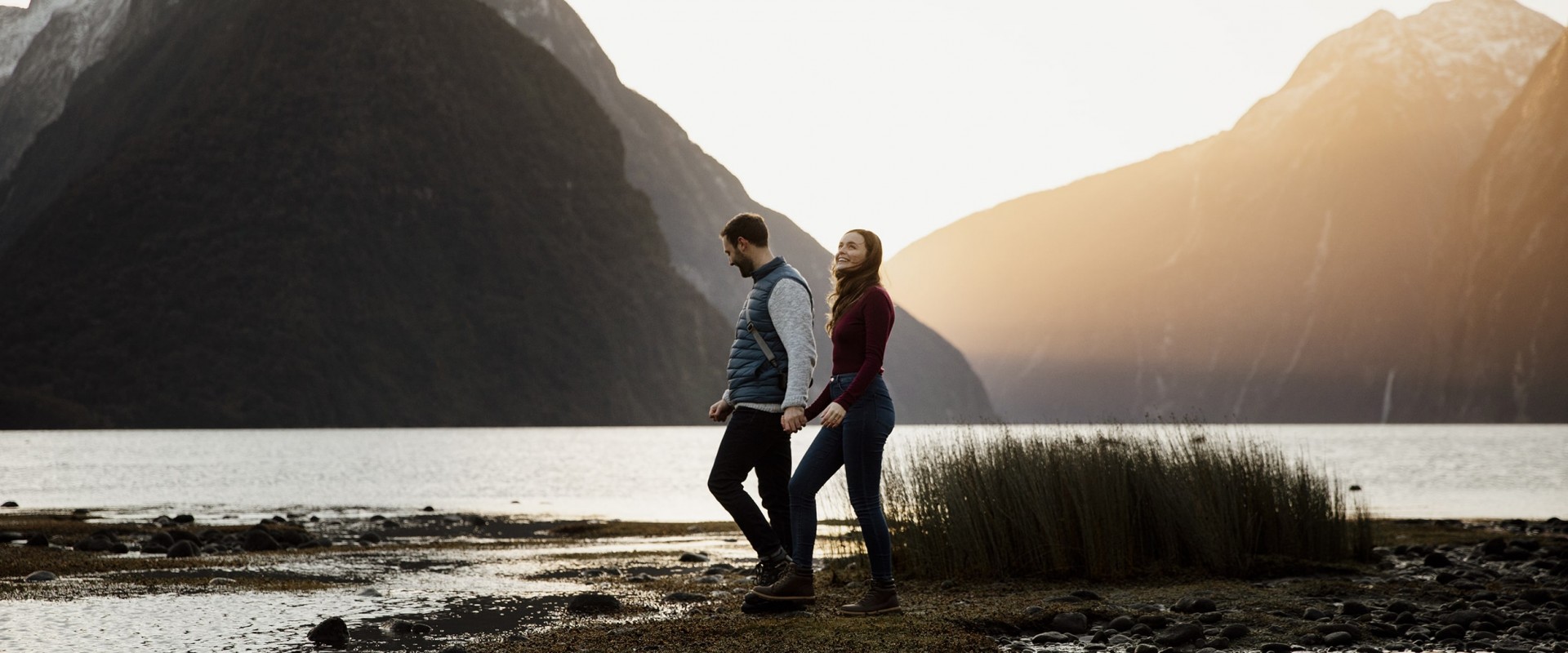
Wander through alpine landscapes and lush rainforests, to catch glimpses of lakes, waterfalls and native birds. Milford Sound hikes invite you to dive right into this untouched wilderness.
Here are the best hikes and day walks in and around Milford Sound.
1. The Milford Track
Difficulty: Medium
Time: Four days
Location: Starts from Lake Te Anau
Without a doubt, this is the most famous Milford Sound hike. It's one of New Zealand's Great Walks and features countless views of Fiordland's epic landscapes. The track traces the footsteps of early explorers, following valleys carved by ancient glaciers and rainforests punctuated by roaring waterfalls. It starts from the head of Lake Te Anau and finishes up at Sandfly Point in Milford Sound.
The hike takes four days and covers 53.5 kilometres. Walking the Milford Track requires a lot of advance planning, mostly because the DOC huts are only open during the Great Walks season (from the end of October to late April) and book out pretty much a year in advance. Only 40 independent hikers are permitted to start the track each day, due to the capacity of the huts along the trail and because this means the delicate environment can be better protected. If you miss out on booking DOC huts on the Milford Track, you can opt for a guided walk - these offer the chance to stay in alternative accommodation.
The three huts along the track are fairly luxurious for wilderness lodging. During the summer, there are flushing toilets, solar lighting, and cooking facilities with fuel.
It is possible to walk the Milford Track in the winter season, but this is only an option for seasoned hikers. Floods and avalanches are possible, so many bridges are removed to prevent them from being damaged. The water crossings can be dangerous and the weather very wet and cold. For these reasons, only attempt to walk the Milford Track outside of the Great Walks season if you are very fit, experienced, and well-equipped.
2. The Key Summit Track
Difficulty: Easy
Time: 3 hours return
Location: Starts from The Divide
The Key Summit hike in Milford Sound is part of the famous Routeburn track and offers a taste of Fiordland's wilderness without needing to hike for three days. The trail is 3.4 kilometres long and takes roughly three hours return. The track starts at The Divide, around one and a half hours or 85 kilometres from Te Anau. It's an easy hike with incredible views, which makes it one of the best day hikes around Milford Sound.
Although you'll be walking uphill, the trail is well formed so it's suitable for families with children. It winds through lovely alpine vegetation and around alpine tarns. On a clear day, you will have panoramic views from the top, with glimpses of Lake Te Anau in the south as well as views of the Darren and Humboldt mountain ranges.
Keep an eye out for tomtits, robins, native pigeons and bellbirds along the way.
3. Milford Foreshore Walk
Difficulty: Easy
Time: 30 minutes
Location: Starts from the main Milford Sound carpark
An easy stroll along picturesque boardwalks, this 30-minute Milford Sound walk gives you great views (and photo opportunities!) of the waterfront. The walk starts from the main Milford car park, so it's easily accessible for anyone and is a nice activity to do either before or after your cruise. Along the walk are information panels that give details about Milford Sound's history, flora and fauna.
4. The Lookout Track
Difficulty: Easy
Time: 10 minutes
Location: Starts from behind the cafe in Milford
Starting just past Donald Sutherland's grave, this track is only 400 metres return. There are a few steps involved, but it's worth the short climb to get elevated views of Milford Sound.
5. Tutoko Valley
Difficulty: Hard
Time: 5 hours
Location: Starts from the Tutoko River bridge car park along Milford Road
This four-kilometre trail is a challenging hike and is a bit more off the beaten track. The trail isn't as well formed as most other Milford Sound hikes, but that just adds to the adventure! You'll walk through forests, swamps and open river valleys to get views of Mount Tutoko, the highest peak in Fiordland (2834 metres).
6. Lake Gunn nature walk
Difficulty: Easy
Time: 45 minutes
Location: Starts from the Cascade Creek carpark
This is one of Milford Sound's top short walks, looping for 1.4 kilometres through red beech forest. Along the way, you'll get views of Lake Gunn, the Eglinton Valley and the surrounding mountains.
The track is located close to the Cascade Creek campsite, so if you're staying overnight go first thing in the morning or later in the evening to enjoy the changing light reflected off the deep blue water of the lake.
7. Gertrude Saddle
Difficulty: Hard
Time: 6 hours
Location: Starts from the Gertrude Valley carpark
This is a great hike for the more adventurous, with a rocky tramping route that covers spectacular alpine terrain. From Gertrude Saddle you can see views of Milford Sound and the Black Lake.
Parts of the track are unmarked, so you'll need to have alpine and navigational skills to take on this hike.
The rocky alpine terrain of this trek also means it should only be attempted by experienced hikers in good weather. Make sure you check the Fiordland weather forecast before you go. In autumn and winter, ice can appear on rock slabs and in shaded areas so the track might not be safe to walk.
8. Lake Marian
Difficulty: Medium
Time: 3 hours
Location: Starts from the Lake Marian carpark, which is one kilometre down the Hollyford Road
This 2.4-kilometre track is a steep climb to an alpine lake in a hanging valley. You'll be walking uphill most of the way, but the reward is well worth it. On a calm day, you'll see the surrounding mountains reflected in the glassy surface of Lake Marian.
If you're not up for doing the whole return track, you can just cross the swing bridge by the car park, walk for 10 minutes and you'll see the Lake Marian Falls, a glorious series of waterfalls. At only 20 minutes return, this is a great little Milford Sound short walk option.
9. The Hollyford Track
Difficulty: Easy
Time: 4-8 days
Location: Starts from the Lower Hollyford Road
This track is 56 kilometres long and takes four days one way. For almost the entire length of the track, you'll be walking through untouched scenery dotted with waterfalls, lakes and a lot of moss. If you start at the Hollyford Road end of the trail you'll end up at the remote Martins Bay, a strip of coastal Fiordland just north of Milford Sound. From here you can fly back to Queenstown or turn around and walk back again if you're game for an eight-day hike.
While long, the track doesn't have many steep inclines so it's fairly easy. It's also very satisfying to arrive in Martins Bay, a little piece of paradise home to only a DOC hut, a lodge, and an airstrip.
The Hollyford Track is an awesome multi-day hike alternative to the Milford Track as you can walk it all year round and it's nowhere near as busy.
10. Earland Falls
Difficulty: Easy
Time: 6 hours
Location: Starts from The Divide car park
Earland Falls is 174 metres high, so worth the 7.5-kilometre return hike to see them. The walk starts at The Divide car park and follows part of the Routeburn Track. Along the way, you'll get amazing views of the Hollyford Valley.
As this is a full day hike, it's best to base yourself at a campground near Milford, or somewhere in Te Anau, to do this walk.
11. Lake Howden
Difficulty: Easy
Time: 3 hours
Location: Starts from The Divide car park
This day walk starts off along the same track as the Key Summit hike, until the signposted turn off to Lake Howden and the Lake Howden Hut. The lake is a pretty spot.
At 3.4 kilometres return, this is a great day hike for anyone who would like to experience part of the Routeburn Track Great Walk but doesn’t have the time for the full three-day hike.
12. Humboldt Falls walk
Difficulty: Easy
Time: 30 minutes
Location: Starts from the end of the Hollyford road
This well-formed track is 1.2 kilometres return. It involves a short climb to an impressive viewpoint looking out at the mighty Humboldt Falls. This is a very scenic spot popular with photographers. The waterfall itself drops 275 metres in three stages – the largest drop is 134 metres high.


